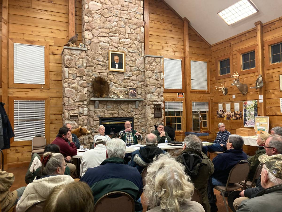
A contingent of Mount Gretna residents brought their water quality concerns to the Governor Dick Park board during a regular meeting on Thursday, Jan. 18.
Residents – who packed the main exhibit room of the park’s Environmental Center and overflowed into a portion of the lobby area – made three requests they believe will positively impact the quality of their drinking water. They delivered those concerns because they believe seven public and numerous private wells are in danger of becoming contaminated from herbicides used at the park.
Additionally, one of the wells (Source 003) for Mt. Gretna Heights residents is located on five feet of the park’s land. Residents want board members to officially honor a 2002 easement agreement between the park board and users of that well since paperwork authorizing the easement was never filed with county officials.
In 2002, Mt. Gretna Heights residents and the park board drafted an agreement permitting the drilling of a well on a portion of park land after a different well used by those residents collapsed, rendering it unusable. However, the park board never filed the easement agreement with the county and residents now want them to honor it for certain rights that come with having an agreement filed with Lebanon County.
Heights residents said at the meeting they would like a new agreement since no one knows where the original is located and because former board chairman Frank Eichler, who signed the original agreement, is deceased.
The group’s spokesman Jen Besse said the residents want the park board to:
- Honor the 2002 easement agreement made during the drilling of a new well (for Mt. Gretna Heights residents) and file it with Lebanon County.
- Refrain from the use of Roundup or any disturbances within 400 feet of that well.
- Avoid the use of untestable herbicides within an 800-foot radius of that well.
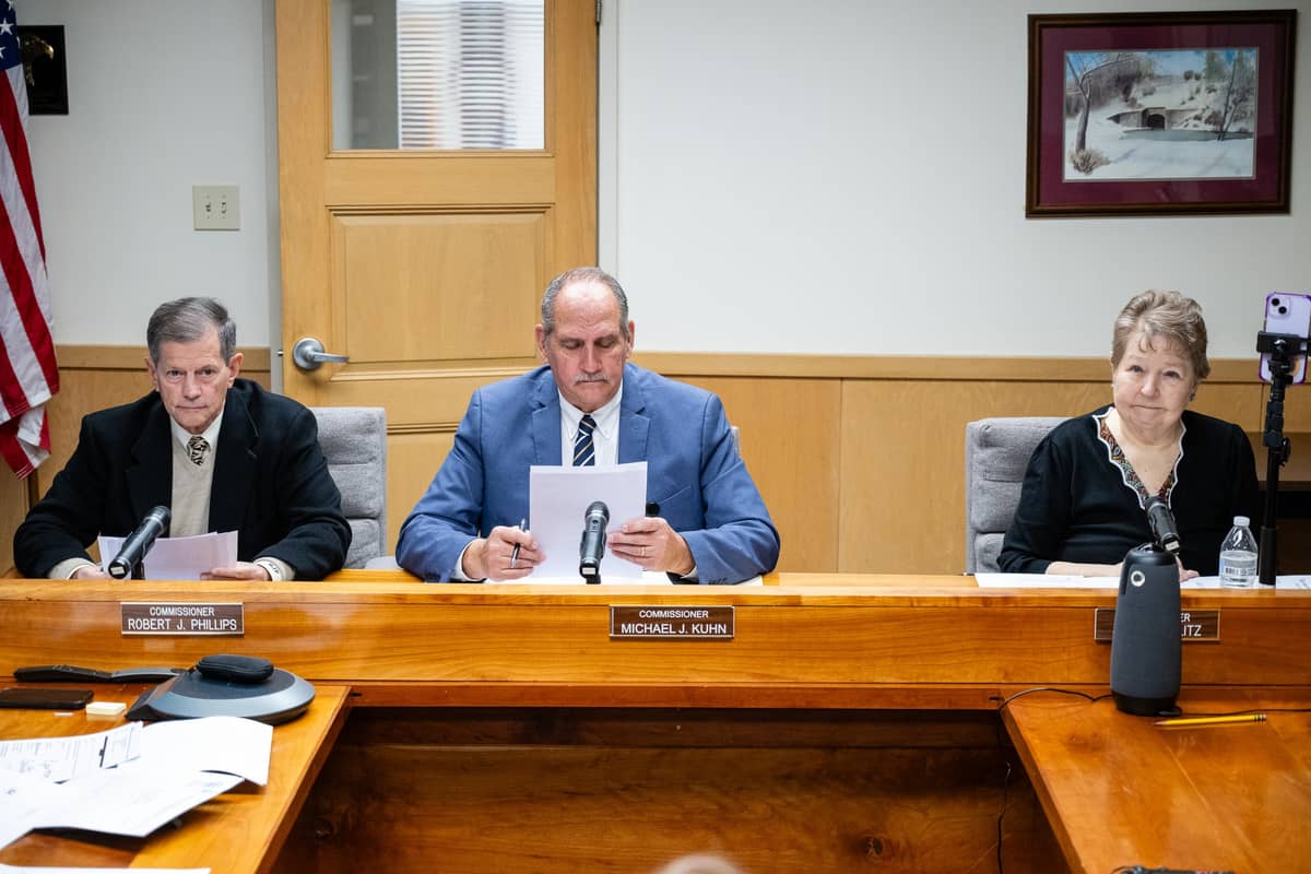
During the meeting there appeared to be more disagreement than agreement – although board chairman Raymond Bender did verbally offer a “good faith” agreement to withhold any pesticide activity in proximity to the Mt. Gretna Heights well until 2025.
Besse said after the meeting the reason she believes Bender offered a “good faith” agreement is because no planned harvest will occur near that well this year. In 2025, however, a harvest is planned on park land that abuts the Mt. Gretna Heights well. “It’s the until part of his statement that worries me,” Besse told LebTown after the meeting.
Bender also said during the meeting that the request for an 800-foot offset was news to him, adding there had not been any prior discussions with Mount Gretna Heights representatives about that additional proposal.
“I personally have no problem with anything except the 800 foot because it’s impossible to define,” said Bender. “The paint that we use on the trees could be defined as an untestable chemical. It was never brought up in any of the meetings or discussions we had with the Heights (residents). And essentially, if we would incorporate that, we would say we’re not gonna do anything within 800 feet because anything that used any kind of chemical or petroleum product could be interpreted as untestable.”
Bender offered to forward a request to the Lebanon County Commissioners recommending a 400-foot radius around the well with one caveat. (He said the county commissioners – who are the trustees to Governor Dick Park – would have to approve the radius request. However, the county commissioners have given the board members broad powers in the past to make decisions, so it is unclear whether the commissioners would have to approve that request or if the park board has the authority to do so.)
“My recommendation would be to revise the easement in a recordable manner with the 400-foot radius, with the understanding that the Heights (residents) may or may not have a study done. If the study generates a greater radius, you would bring that to us,” said Bender.

Besse offered to show the board DEP-created maps highlighting chemical disbursement over time, adding that while the state agency has a set radius, once a geological survey is done the state’s figures are no longer applicable.
The map shows the location of seven public wells in the Mt. Gretna area in proximity to Governor Dick Park. Residents believe all seven public wells – which are located in Zone II – could be impacted by herbicides used in the park to control weeds and invasive species within 10 years. The next planned harvest of trees in the park, which would necessitate the use of herbicides, is scheduled for 2025 and will occur on land that abuts Source 003 well.
“So when you have a geologist do a study of water flow, they have to do a study of the soil composition and then the topography,” said Besse. “So what you end up with is more like you took a blanket, and you laid a blanket on uneven land. You wouldn’t end up with a circle. You would end up with things that are going this way and that.”
She added that the map shows a 10-year circle demonstrating how chemicals reach the well during that timespan. Bender asked if that included chemicals that have a short lifespan.
“Something like Oust has a two-year (lifespan),” said Besse in response to Bender’s comment. Oust is one of the chemicals the park’s forester uses to control weeds and invasive species in harvested areas of the 1,115-acre park, which was deeded to Lebanon County in 1998.
Bender then enquired about water flow and how aquifers recharge, adding that the board would be interested in having a conversation with Heights representatives if they were willing to purchase a watershed.
He added, however, that a watershed purchase would involve eminent domain proceedings.
“If you wanna buy a watershed, we’d be glad to see your proposal,” said Bender. “You don’t have the right of eminent domain. … Essentially, if you’re gonna declare a watershed on somebody else’s property, that’s a taking if you have the right eminent domain. If you don’t, you will have to buy it.”
When asked about accepting an 800-foot buffer from the well, Bender noted the board was reluctant to take any action on information that staff did not have time to review before making a decision.
That was a common comment throughout the meeting from Bender, who made that statement more than once, and by board member Chip Brightbill. Bender and Brightbill led the discussion with the residents on behalf of the other three board members in attendance.
Later in the meeting one resident said the board already had the 800-foot buffer proposal request provided to them prior to their November meeting.
Besse told the board residents are concerned about findings from a geologist that shows that the chemical Oust can remain in the soil for up to two years after it has been applied.
“The reason why we reached that part about not being able to test for the chemical is that the problematic chemical now is Oust,” said Besse. “Because you cannot test a water system for Oust. And Oust stays in the soil. It’s a range, depending on the soil. Clay soil, it stays in for two years.”
Besse said the residents would like an 800-foot buffer from the well since it’s uncertain what chemicals might be applied to the park land in the future.
“If you are talking about a radius around the well, you’re talking about that chemical being in our drinking water if it’s in that Zone Two radius,” said Besse. “So that’s well outside of the 400 feet we’re talking about now because you can’t test for that. OK, so that’s our agreement now. We would say let’s not have Oust sprayed. But then, 20 years from now and another chemical comes along, this is now the new chemical we can’t test for. We want something set that’s permanent.”
There was disagreement between Besse and Bender when he referenced that the well is positioned below the surface.
“It’s a 400-foot deep cased well,” said Bender. “I can’t – and it’s not my area of expertise – but the people I talk to, there’s no way that….”
Concurrent talking during that comment made it impossible to catch the last part of what Bender was trying to say. (The audio captured via a recording device was even unintelligible using artificial intelligence software in an attempt to accurately transcribe that statement. It appeared, however, that Bender was attempting to make a point about the well being deep enough for chemicals to taint the water supply.)
“DEP and the people we talked to from the survey companies and the geologists seem to disagree,” said Besse, who told LebTown after the meeting that the Mt. Gretna Heights well is actually 500 feet below the surface.
Besse provided LebTown with a graphic showing seven public wells in the area that are several hundred feet deep. However, an unknown quantity of much shallower private wells in Stoberdale, which is the area around the Hideaway restaurant, are believed to be between 100 and 200 feet deep.
Brightbill suggested that the group present their information to the board and allow their staff to review that data, noting everyone wants to arrive at a workable agreement.
“I think the county has an interest in protecting you, we have an interest in protecting you, and you of course have that self-interest also,” said Brightbill. “But I don’t know that there’s anything we can do today to get us there.”
Michelle Shay responded to Brightbill by saying residents have requested for the past one and a half years for the board to help get the 2002 easement agreement filed with the county, adding they are frustrated over the delays.
Besse told LebTown after the meeting that residents learned the easement agreement – which would provide the association with legal protection since a portion of the 2002-built well is on park ground – had never been filed even though it had been signed by then-board president Frank Eichler.
“A year and a half ago, we came to you guys and said, ‘Hey, we’ve discovered that our easement that was established and sent over with our DEP application for our new well to be dug was never properly reported,’” said Shay.
Shay said additional conversations among residents concerned timbering practices and the use of chemicals on the land have made them more informed and more concerned about their water quality.
“As a community and as a board representing the Heights community, that obviously raised major concerns,” said Shay. “We have been dealing with and having multiple conversations for the last year and a half. We came to you and asked if you could please properly report our easement and in addition to that, give us a 400 (foot) no disturbance. That came from a recommendation of DEP or PA Rural Water. Then we added that 800 feet – because of the changing practices of Governor Dix’s timbering, that was, at minimum, in the best interest of our community.”
Shay noted the community is frustrated by the inaction of the board.
“But what we are coming to tonight is we feel and we’re a little frustrated that we have been pushed off and pushed off with our bare minimum request for the last year and a half,” said Shay. “So if we could at least get the board to agree on that request and the easement and that 400 and 800 feet, I feel like maybe you’re right, as good neighbors, maybe we can work together in this larger source of our management program and feel confident that we can all work together in the future. I think that’s really where the community here is.”
Brightbill, who is an attorney, said the easement didn’t need to be filed and that the board considered it to be a legally binding document.
“It’s a valid agreement whether it’s been recorded or not. There’s probably been too much emphasis on this mechanical process of reporting the easement,” said Brightbill. “As to what should be done in the future, I think we have an obligation to make sure we know what we’re doing when we’re giving up things that we may or may not have to give up – like the 800 feet that we’re referring to.”
There was additional discussion concerning the easement agreement with Brightbill informing the residents that they are welcomed to file it if they so desire.
Resident Nancy Moran said she was concerned that if the board agreed to the filing of the easement agreement, whether they would address the residents’ other concerns in the future. Bender responded by saying that the board was fine with the 400-foot buffer but said that now there’s a request for an additional 800-foot buffer with additional terms.
“We were okay with the 400 feet and then you hit us with 800 feet in November and it was never discussed,” said Bender. “And then we agree that we are going to wait for this PA (Rural) Water study and now all of a sudden they are not doing the study, we have a separate geologist to do this study. And that was never discussed.”

That comment solicited cries from the audience that his comment was an untrue statement.
Moran said she was told the board decided not to do a harvest and reforestation along Pinch Road for aesthetic reasons, but her concern is about water quality since that is an issue that impacts future generations.
“I am worried about the water, I’m not worried about whether it’s pretty or not,” said Moran. “So if you are willing to keep that stand of trees there so that you don’t hear complaints from the community, why then aren’t you morally worried about what our future generations may be drinking?”
Bender replied the watershed is not the charge of the park board.
“Ours is to maintain the forest; it doesn’t say anything about maintaining the watershed for additional neighborhoods,” said Bender.
The room exploded with groans of disbelief and cries that the board doesn’t care about water quality. After the conversation died down, Bender said he would act on his word and in “good faith” and that the board would be willing to negotiate a new easement agreement with local residents.
On Friday, Besse informed LebTown that they were in the process of filing the original 2002 easement agreement with Lebanon County.
Questions about this story? Suggestions for a future LebTown article? Reach our newsroom using this contact form and we’ll do our best to get back to you.

Support Lebanon County journalism.
Cancel anytime.
Monthly Subscription
🌟 Annual Subscription
- Still no paywall!
- Fewer ads
- Exclusive events and emails
- All monthly benefits
- Most popular option
- Make a bigger impact
Already a member? Log in here to hide these messages
While other local news outlets are shrinking, LebTown is growing. Help us continue expanding our coverage of Lebanon County with a monthly or annual membership, or support our work with a one-time contribution. Every dollar goes directly toward local reporting. Cancel anytime.