Between rolling fields, forest paths, and wide-open riverside trails, the Susquehanna region is hardly lacking in sights to see from the perch of a bicycle seat. Here are eight trails of the area worth checking out.
Lebanon Valley Rail Trail

The Lebanon Valley Rail Trail is currently segmented into three noncontiguous parts. The longest of these segments runs from Route 422 in Lebanon down past Cornwall and Mount Gretna and all the way through to the Lancaster County border, where it meets the Conewago Recreation Trail and continues from there out to Route 230, just a mile outside of Elizabethtown.
This section, Conewago Trail included, totals around 20 miles one-way. There are a handful of parking access points along the trail (linked here). Mostly flat with only slight inclines around Mount Gretna, the trail passes through woodland, pastures, and small communities like Lawn and Colebrook.
A second section of the trail begins at a parking lot just south of the Union Canal Tunnel Park on North 25th Street and runs along its southern boundary. While it’s not especially long at 1.8 miles, it’s a great length if you’re in the area and want to stretch your legs.


A third section, 2.3 miles in length, can be accessed from a trailhead on Jonestown Road, immediately west of the Swatara River. From there, it heads in two direction. The trail to the north runs along the river just past Route 22, while the trail to the south ends at New Bunkerhill Street.
Read More: Rails to Trails celebrates new extensions, four miles of additional trail now open
Both of the shorter sections, Phases 7 and 9, are planned to be joined together and with other existing trails in the long-term completion of the Rail Trail project. One of the connecting phases currently in the works is the complex Phase 6, connecting the lower Phases 1 to 5 with Phase 7 through a park and trails along Route 422.
Read More: Commissioners direct $800k of Marcellus Shale funding to rail trail
Swatara State Park

The 3,530-acre park offers a handful of trails to explore, but if you’re looking for a great all-around ride, try out the combined 11-mile Northern and Southern loop, which follows the Swatara Rail Trail north of the river and the Bear Hole Trail south of it.
The multi-use trail is somewhat hilly on the Bear Hole side and open to hikers and equestrians. It passes by old locks used for controlling the Union Canal, an open fossil dig site near Swopes Valley Road, and Bordner’s Cabin.
Read More: How to visit Bordner’s Cabin at Swatara State Park [Photo Story]
To extend the trail further by about 2.5 miles, consider starting out from the Lickdale Trailhead just off of Route 72 on Monroe Valley Road. Otherwise, the Waterville Bridge lot (accessed through the recently redone Iron Bridge Road off of Route 72) is a great spot to start. If you’ve a taste for mountain biking, the park also offers just under 10 miles of mountain trails, which are located in a cluster accessible from a trailhead on State Park Lane.
Read More: [Photo Story] Brilliant blues and fiery fall colors on display at Swatara State Park
Read More: A decades-long project almost dammed the Swatara Creek and radically altered northern Lebanon County
Middle Creek

If you don’t mind cycling along a wide, relatively quiet road for part of a ride, the Middle Creek Wildlife Management Area can make for a nice loop of around 6 miles around the central reservoir. Make sure the route is open, though – the tour road, which makes up the northern part of the loop, is closed between Oct. 1 and March 1.
A good place to start is one of the parking lots along Kleinfeltersville Road such as the Willow Point lot. From there, head north and turn right onto the gated tour road (Interior Road). Follow that through until reaching the end of the gated section on Girl Scout Road, take a right, and continue up a hill until reaching gravelly Millstone Road, which will lead back to Kleinfeltersville Road. Check out the maps at the above link for a look at the loop.
Read More: [Photo Story] Quiet beauty and still waters at Middle Creek
It’s a bit hilly in spots, but the route’s pleasant sights and natural setting make for an experience even better on bicycle than it is from a car. Currently, the Middle Creek Visitors Center is closed for construction, but when it does reopen, it’s certainly worth stopping in to learn about the wildlife and ecology of the 6,254-acre area.
Stony Valley

The Stony Valley Rail Trail may seem a bit unimpressive for first-timers, but what it lacks in sight-seeing from the trail itself is more than made up for by its quietude and the hidden spots to be found along the way. The site linked above, created by historian Brandy Watts, provides a wealth of information on the trail’s features and the history of the valley it runs through.
Built on a former line linking Dauphin and Schuylkill counties, the trail provides access to the ruins of several “ghost towns” along the way. The deserted resort of Cold Spring was a popular destination over a century ago, while the remains of Rausch Gap about 2 miles further northwest include a cemetery and a link to the Appalachian Trail. The trail’s total length is about 20 miles.
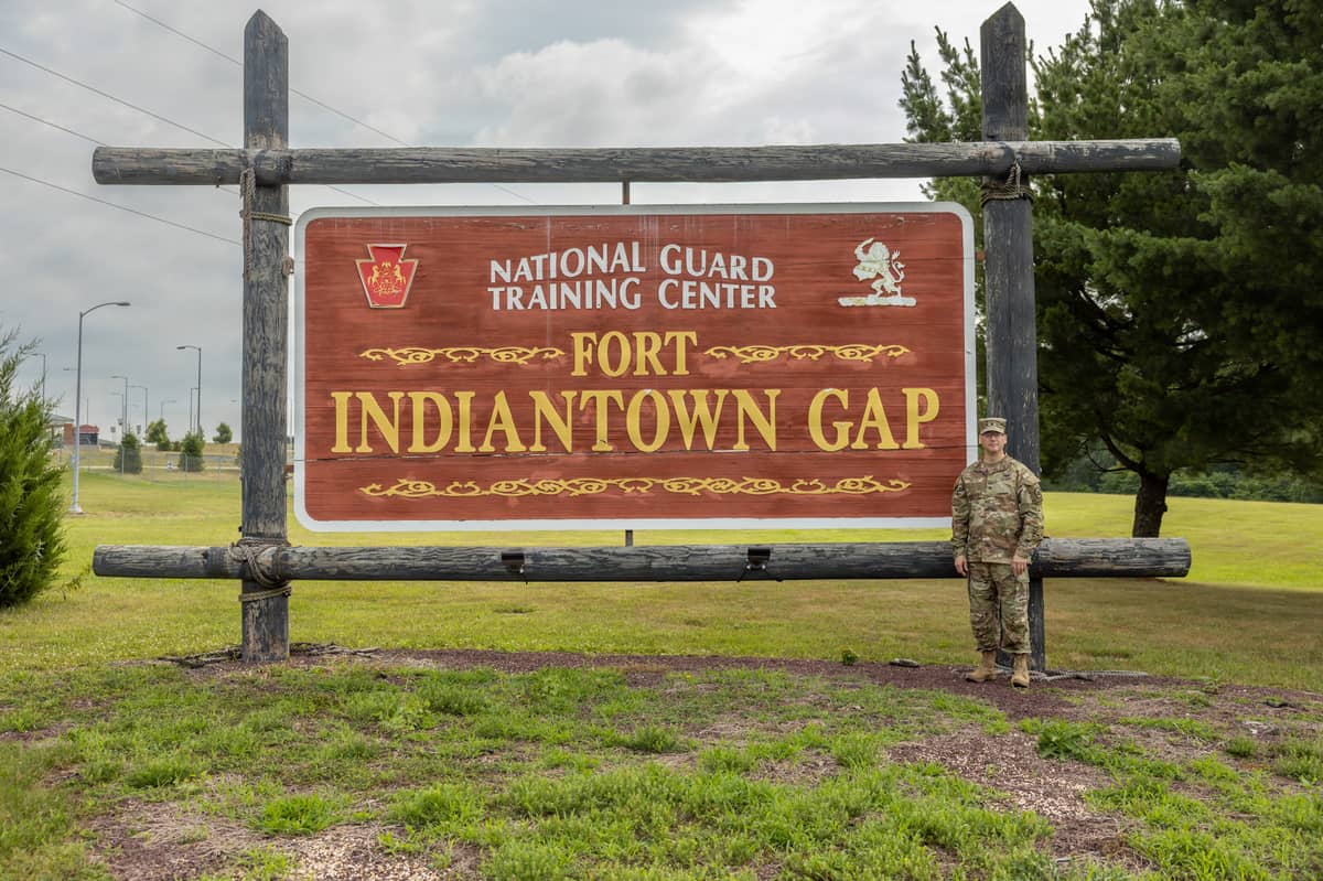
Multiple lots exist along the trail, including ones at Ellendale Road in Dauphin County, Gold Mine Road in Lebanon, and one at Cold Spring itself accessed through backroads at Fort Indiantown Gap. Be aware that the terrain around the trails is hilly, and that the unmaintained gravel road towards Cold Spring is closed from December through March and can be difficult to navigate without four-wheel drive.
One word of caution for those straying from the trail: watch out for timber rattlesnakes, which tend to be active from spring through fall. The remoteness of the trail (and minimal reception) may make bite treatment difficult.
Read More: At the top of the county, the magnificent Boxcar Rocks are one of Lebanon’s best hiking spots
Read More: A trek into the wilderness of the Lebanon Reservoir and Jeff’s Swamp
Warwick to Ephrata Rail Trail

The Warwick to Ephrata Rail Trail splits the difference between Lancaster farmland and the wooded Linear Park of Ephrata. The flat trail of about 6.7 miles one-way crosses a handful of roads and ends in downtown Ephrata on Route 322. Parking exists at both ends of the trail, though cyclists traveling from Lebanon may want to park at the Warwick Township Municipal Park at 315 Clay Road and bike east into Ephrata from there.
The trail passes through farmland under a wide-open sky before crossing Route 272 and transitioning into a denser community park. Worth checking out along the way are murals, a trailside fairytale display, and the SAMBA-built Heatherwood Bike Park at Lemon Street.
Read More: SAMBA pump track at Coleman Memorial Park opens May 29
Capital Area Greenbelt

If you’re looking for a trail with a more metropolitan feel to it, consider a trip over to the Capital Area Greenbelt, a 20-mile loop around Harrisburg and along the Susquehanna River. The trail combines natural features like the riverside parks and gardens it passes by with pleasant streetside properties. If you choose to bike the full loop, you’ll pass by Wildwood Park, the main campus of Harrisburg Area Community College, and the Pennsylvania Farm Show Complex & Expo Center. There are also several spurs and extensions worth trying out, including a short ride across the river to City Island, a two-mile extension from Wildwood up to historic Fort Hunter, and a quiet detour leading into Veterans Memorial Park.
Northwest Lancaster County River Trail

Running around 14 miles from Falmouth to Columbia on the east side of the Susquehanna, the Northwest Lancaster County River Trail passes by small riverside towns, large crop fields, and plenty of views of the river. Numerous access points exist along Route 441, including ones at either end of the trail. It’s a busy but wonderful trail that’s got plenty to see along the way.
The White Cliffs of Conoy, for instance, are a strange manmade feature overlooking the Susquehanna about 5 miles from the Falmouth end, while the Chickies Rock County Park just outside Columbia boasts rock climbing and views over the eponymous rock outcropping.
Afterwards, consider checking out the history of the riverside communities. The Columbia Historic Preservation Society is a fascinating place to learn about the storied past of the town, which was one vote short of becoming the U.S. capital in a 1790 Congressional vote.
Enola Low Grade Trail

It’s a bit of a haul from Lebanon, but the Enola Low Grade Trail is a beautiful trail built on an engineering marvel: the grade of the original rail was designed to remain under 1° throughout the line. Like the LVRT, the Enola trail exists in segments, with the nearest section running along the Susquehanna from a trailhead on River Road (Route 441).
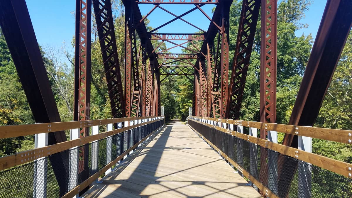
Relative to other trails further up the Susquehanna, Enola is quiet and less busy on average. While the 5.5-mile riverside portion currently ends at the foot of an old railroad trestle, Manor Township is busy refurbishing the trestle to connect it to the next section of trail. There’s no set date for the completion of the project, but it may be open at some point this year.
Adventurous cyclists may also want to go farther and check out the other segments of the trail, most of which run east-west through Lancaster County. Some sections are unfit for the average road bike, however, so make sure you know what segments are best for your ride.
Questions about this story? Suggestions for a future LebTown article? Reach our newsroom using this contact form and we’ll do our best to get back to you.

Join our community of local news champions.
Cancel anytime.
Monthly Subscription
🌟 Annual Subscription
- Still no paywall!
- Fewer ads
- Exclusive events and emails
- All monthly benefits
- Most popular option
- Make a bigger impact
Already a member? Log in here to hide these messages
Quality local news takes time and resources. While LebTown is free to read, we rely on reader support to sustain our in-depth coverage of Lebanon County. Become a monthly or annual member to help us expand our reporting, or support our work with a one-time contribution. Cancel anytime.