
Anyone with a cellphone can participate in a new form of community science at the Middle Creek Wildlife Management Area – and it doesn’t cost anything or take more than a moment of time.
According to the Summer 2024 issue (PDF) of Middle Creek in Motion, a newsletter produced by the state Game Commission, “there are many ways that one can participate in scientific research, even without a fancy scientific degree. It’s called community science and has been around for quite some time. It’s been made even more accessible with technology.”
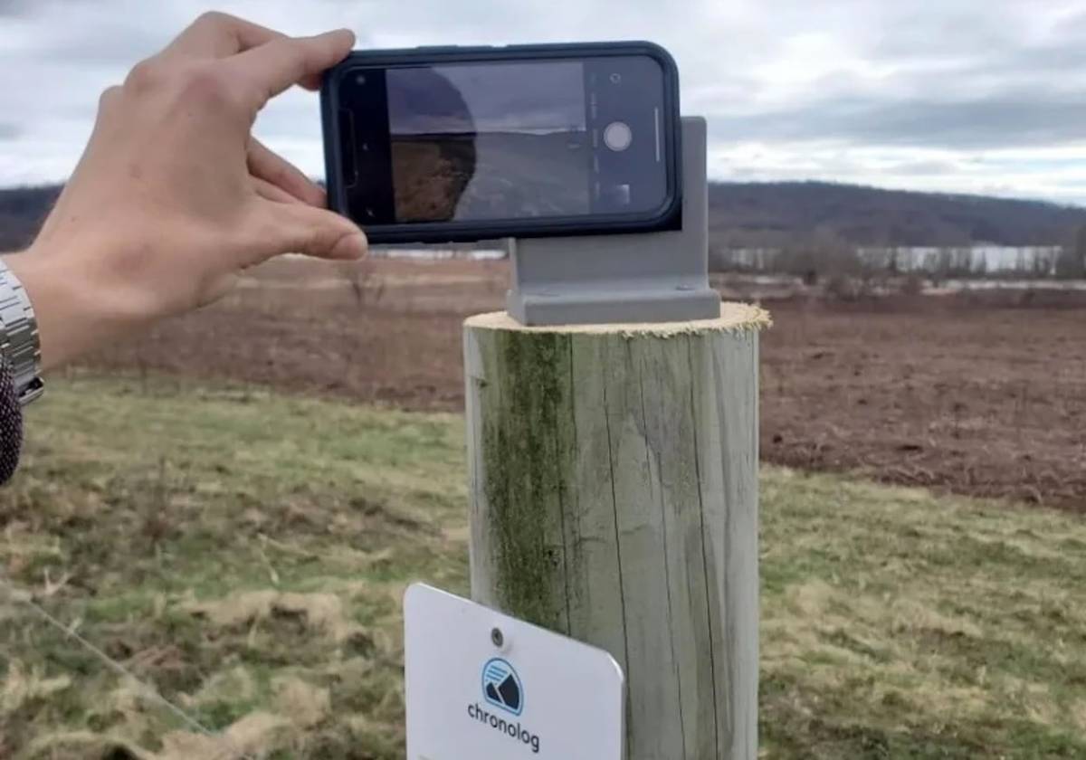
One new example of community science in action is called Chronolog, and it’s available at three stops in the conservation area.
The Chronolog website notes that stations are set up at three locations: the waterfowl habitat in the southwest corner of Middle Creek Lake, along the mile-long Willow Point Trail, and in the grasslands off Chapel Road.
Middle Creek in Motion explains that each location has a small plastic frame where visitors can set a cellphone and take a landscape photo. “When you scan the QR code that’s attached to the same post, you can submit that photo to an online database where you can view those photos like a timelapse,” the newsletter explains. “Over time with many photos, Middle Creek’s ever shifting habitat can be viewed from the point-of-view of a time traveler.”
The timelapses are available to view by searching for “Middle Creek” on the Chronolog website.

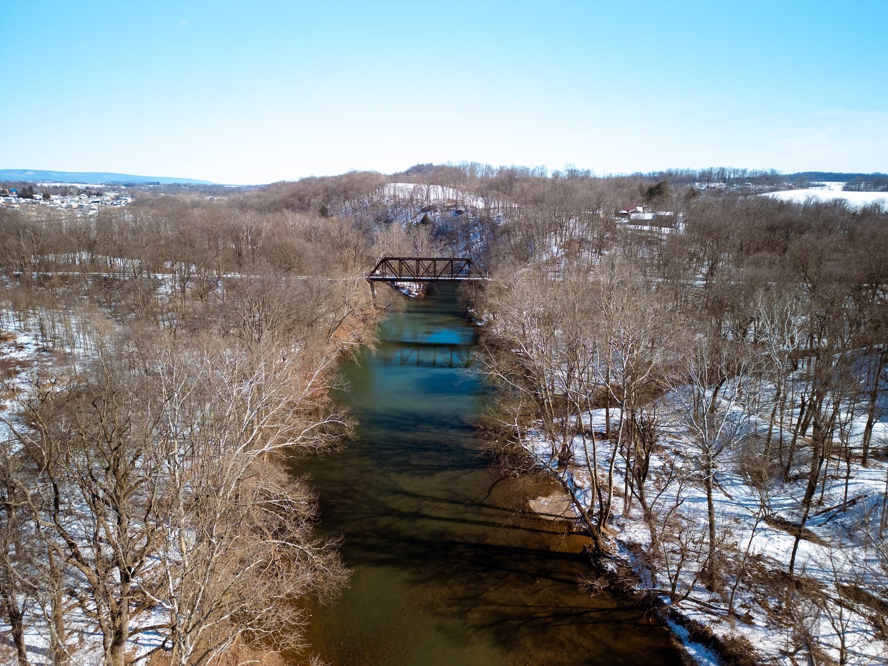
According to the site, the photo collections help to monitor habitat restoration, fire recovery, river erosion, garden transformations, native and invasive species, and views of lakes, wetlands, forests and shorelines.
The newsletter says other examples of community science include the SETI Institute, which maintains a systematic search for extraterrestrial intelligence using background data computing on home computers to interpret radio signals received from space, and eBird, a product of the Cornell Lab of Ornithology where people can submit bird sightings that scientists can use to look at long-term trends.
Questions about this story? Suggestions for a future LebTown article? Reach our newsroom using this contact form and we’ll do our best to get back to you.
Keep local news strong.
Cancel anytime.
Monthly Subscription
🌟 Annual Subscription
- Still no paywall!
- Fewer ads
- Exclusive events and emails
- All monthly benefits
- Most popular option
- Make a bigger impact
Already a member? Log in here to hide these messages
An informed community is a stronger community. LebTown covers the local government meetings, breaking news, and community stories that shape Lebanon County’s future. Help us expand our coverage by becoming a monthly or annual member, or support our work with a one-time contribution. Cancel anytime.