Good Thursday morning! Thursday will feature cloudy and at times overcast skies as light off-and-on rain is possible at any point. Temps will warm however into the mid to upper 40’s.
Friday a warm front will be pushing towards our region and as a result we will have a Southey breeze under a mix of sun and clouds, with more clouds winning out by the afternoon. Temps will be on the mild side as we expect to rebound into the lower and possibly upper 50’s.
Saturday will be a wash, as we are currently expecting a wet but very mild day. While we don’t think rain will be falling the entire time, we do expect several hours of rain during the afternoon. Temps are going to make a run towards the lower 60’s… but, a VERY powerful cold front will end that overnight.
Sunday our daytime high will be felt shortly after midnight as temps CRASH some 30-40 degrees behind this cold front! Remember, we told you it was powerful. So powerful, that temps will crash into the lower 20’s overnight with a perfectly timed system possibly effecting the region Sunday afternoon into Monday morning with snow, and possibly plow-able amounts.
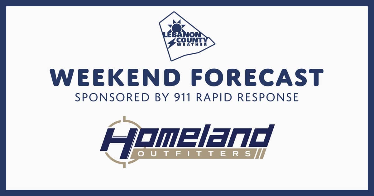
The weekend forecast is brought to you by Homeland Outfitters located at 911 Rapid Response.
SPONSORED BY
Homeland Outfitters
Retail Division of 911 Rapid Response

The Homeland Outfitters store located at 911 Rapid Response is your go-to place when you’re looking for firearms and tactical equipment. They have a wide variety of firearms, scopes, ammo, and more. Looking to upgrade your existing firearm? Homeland Outfitters will accept trades, and they will purchase your firearm outright as well. Stop in today to see their extensive inventory and inquire about their partnership with Silencershop as well!